Fresno to Matagalpa
Matagalpa → FresnoFTL freight transportation service between Fresno and Matagalpa. Reliable logistics solutions for your business.
Route Description
Everything you need to know about the corridor Fresno - Matagalpa
The logistics corridor between Fresno, California and Matagalpa, Nicaragua represents a vital connection for freight transportation between North and Central America. This approximately 4,319 km route traverses diverse terrains and crosses multiple international borders, making it a complex but strategically important corridor for companies looking to move goods between the United States and Nicaragua. The corridor connects California's agricultural and industrial powerhouse with Nicaragua's growing manufacturing and agricultural sectors, facilitating trade that supports both economies.
The route follows major transportation arteries through California, Arizona, and Texas before crossing into Mexico and continuing through Central America. Key infrastructure along this corridor includes the Interstate highway system in the United States, Mexican Federal highways, and the Pan-American Highway through Central America. The primary border crossings include those between the U.S. and Mexico at locations such as Laredo or El Paso, followed by crossings between Mexico and Guatemala, and finally Guatemala and Nicaragua. Each border presents unique customs requirements and documentation needs that require expert handling.
This corridor serves numerous industries including agriculture, electronics, textiles, and automotive parts. Fresno's agricultural exports, ranging from fresh produce to processed foods, frequently move through this route to reach Nicaraguan markets. Conversely, Nicaraguan manufactured goods and agricultural products utilize this same corridor to access the U.S. market. Control Terrestre provides comprehensive cross-border expertise for this corridor, managing the complex documentation, customs clearance, and coordination required for seamless door-to-door service. Our experience with the specific requirements at each border crossing ensures that shipments move efficiently through the entire journey, minimizing delays and ensuring compliance with all regulatory requirements.
Services for this Route
Available services for the corridor Fresno - Matagalpa
 Origin
Fresno
Fresno, California serves as a strategic logistics hub in the heart of California's Central Valley, one of the most productive agricultural regions in the world. Located approximately 200 miles north of Los Angeles and 170 miles south of San Francisco, Fresno provides excellent connectivity to major West Coast markets. The city's economy is deeply rooted in agriculture, with extensive production of fruits, nuts, and vegetables, but it also hosts growing manufacturing, food processing, and distribution sectors. Fresno's transportation infrastructure includes direct access to Interstate 5 and State Route 99, two major north-south corridors that connect to the broader U.S. highway network. The city is served by Fresno Yosemite International Airport and is within driving distance of major West Coast ports including the Port of Oakland and the Port of Los Angeles, providing multimodal transportation options for freight moving in and out of the region.
 Destination
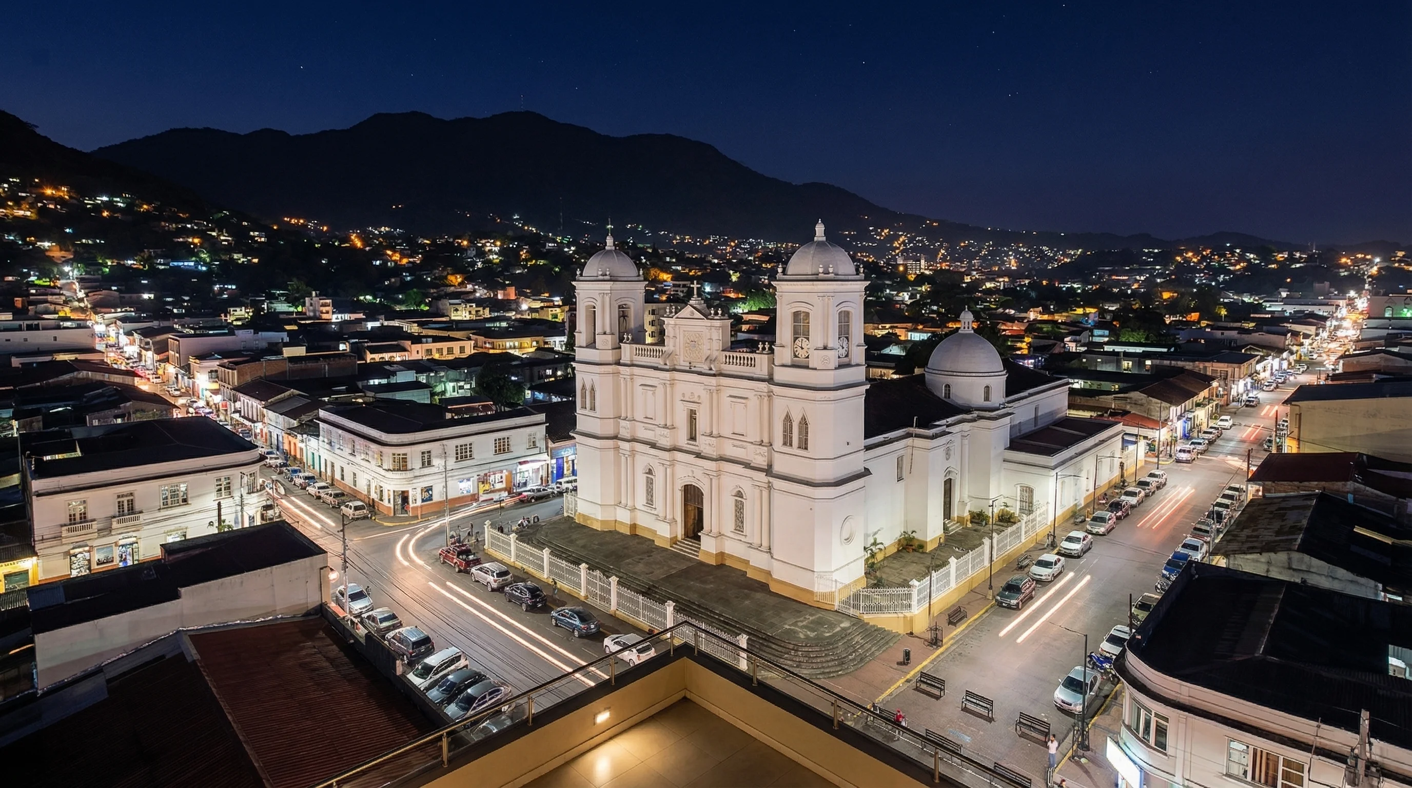
Matagalpa, located in the mountainous region of central Nicaragua, serves as an important commercial and agricultural center for the country. Situated approximately 130 kilometers north of Managua, the capital city, Matagalpa benefits from its strategic location that connects the Pacific and Atlantic regions of Nicaragua. The city is known for its coffee production, which represents one of Nicaragua's most important export commodities, along with growing industries in textiles, food processing, and light manufacturing. Matagalpa's transportation infrastructure includes access to the Pan-American Highway, which provides connectivity to the rest of Nicaragua and neighboring countries. The region's road network, while developing, connects to the port of Corinto on the Pacific coast and provides routes to the Caribbean coast, facilitating both domestic distribution and international trade. The city's elevation and climate make it ideal for certain agricultural products that require cooler temperatures, contributing to its economic diversity.